- Added WATERVILLE, IA HISTORICAL MAP GEOPDF 7.5 to cart. View cart.
- Added WEBB, IA HISTORICAL MAP GEOPDF 7.5X7.5 G to cart. View cart.
- Added WEST CHESTER, IA to cart. View cart.
- Added MELROSE, IA HISTORICAL MAP GEOPDF 7.5X7. to cart. View cart.
- Added TAYLOR, IA to cart. View cart.
- Added WEST GROVE, IA to cart. View cart.
- Added WALES, IA to cart. View cart.

Product Details
- Product Number
- 53868
- Scale
- 1:24,000
- Alternate ID
- TIA0936
- ISBN
- 978-0-607-16560-9
- Version Date
- 01/01/1978
- Regions
- IA
- Countries
- USA
- Media
- Paper
- Format
- Flat
- Digital Reproduction
- Yes
Additional Details
- Description
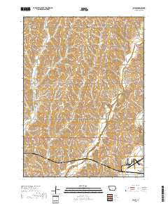
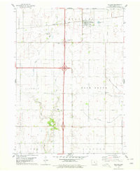
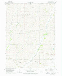
- WALES, IA HISTORICAL MAP GEOPDF 7.5X7.5 GRID 24000-SCALE 1978
- Survey Date
- 1978
- Print Date
- 1978
- Height In Inches
- 26.800
- Length In Inches
- 21.900
- Boundary Type
- Quadrangle
- Two Sided
- No
- Pieces
- 1
- Languages
- English
Related Items

WALES, IA HISTORICAL MAP GEOPDF 7.5X7.5 GRID 24000-SCALE 1978