- Added MIDNIGHT MOUNTAIN, ID HISTORICAL MAP GEO to cart. View cart.
- Added AMERICAN FALLS SW, ID to cart. View cart.
- Added BASIN, ID to cart. View cart.
- Added ROCKLAND EAST, ID to cart. View cart.
- Added PAGARI, ID to cart. View cart.
- Added BIG CEDAR, ID HISTORICAL MAP GEOPDF 7.5X to cart. View cart.
- Added BRIDGE, ID to cart. View cart.
- Added BIG CEDAR, ID to cart. View cart.
- Added GOLDEN, ID HISTORICAL MAP GEOPDF 7.5X7.5 to cart. View cart.
- Added NO BUSINESS MOUNTAIN, ID to cart. View cart.
- Added MEDORA, IA to cart. View cart.
- Added ROCKLAND WEST, ID to cart. View cart.
- Added CHALLIS CREEK LAKES, ID to cart. View cart.
- Added BLACK KNOLL, ID to cart. View cart.
- Added PANAMA, IA to cart. View cart.
- Added BEDSTEAD RIDGE, ID to cart. View cart.
- Added WAPSHILLA CREEK, ID-OR to cart. View cart.
- Added ROSE HILL, IA to cart. View cart.


Product Details
- Product Number
- 53713
- Scale
- 1:24,000
- Alternate ID
- TIA0780
- ISBN
- 978-0-607-16412-1
- Version Date
- 01/01/1965
- Regions
- IA
- Countries
- USA
- Media
- Paper
- Format
- Flat
- Digital Reproduction
- Yes
Additional Details
- Description
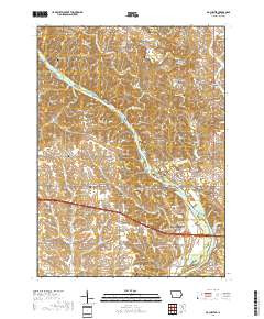
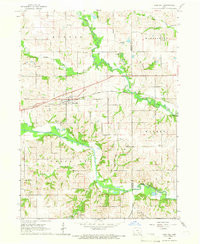
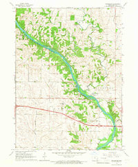
- ROCHESTER, IA HISTORICAL MAP GEOPDF 7.5X7.5 GRID 24000-SCALE 1965
- Survey Date
- 1965
- Print Date
- 1967
- Height In Inches
- 26.900
- Length In Inches
- 22.200
- Boundary Type
- Quadrangle
- Two Sided
- No
- Pieces
- 1
- Languages
- English
Related Items
ROCHESTER, IA HISTORICAL MAP GEOPDF 7.5X7.5 GRID 24000-SCALE 1965