
- Added DECATUR, AL HISTORICAL MAP GEOPDF 7.5X7. to cart. View cart.
- Added DEVILS FENCE, MT to cart. View cart.
- Added HOLLAND PEAK, MT to cart. View cart.
- Added BISON, OK HISTORICAL MAP GEOPDF 7.5X7.5 to cart. View cart.
- Added EDWARDS, MS to cart. View cart.
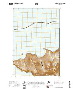
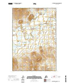
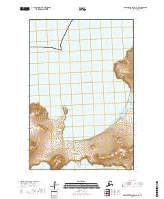
- Added HAGEMEISTER ISLAND C-7 NE, AK to cart. View cart.

Product Details
- Product Number
- 523320
- Scale
- 1:25,000
- Version Date
- 01/01/2018
- Regions
- AK
- Countries
- USA
- Media
- Paper
- Format
- Flat
Additional Details
- Description
- HAGEMEISTER ISLAND C-7 NE, AK TNM GEOSPATIAL PDF 7.5X7.5 GRID 25000-SCALE 2011
- Survey Date
- 2018
- Height In Inches
- 29.000
- Length In Inches
- 24.000
- Boundary Type
- Quadrangle
- Pieces
- 1
Related Items
HAGEMEISTER ISLAND C-6 SW, AK TNM GEOSPATIAL PDF 7.5X7.5 GRID 25000-SCALE 2011
HAGEMEISTER ISLAND D-5 SW, AK TNM GEOSPATIAL PDF 7.5X7.5 GRID 25000-SCALE 2011
HAGEMEISTER ISLAND C-6 NW, AK TNM GEOSPATIAL PDF 7.5X7.5 GRID 25000-SCALE 2011