

Product Details
- Product Number
- 518956
- Series
- AK-15
- Scale
- 1:168,960
- Alternate ID
- AK-15
- ISBN
- 978-1-59351-944-5
- Version Date
- 01/01/2017
- Regions
- AK
- Countries
- USA
- Media
- Plastic
- Format
- Folded
Additional Details
- Description
-
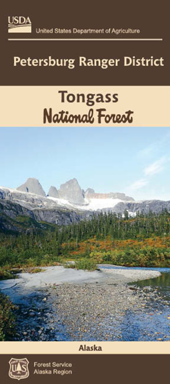
Welcome to the Petersburg Ranger District! The 1.8 million-acre Petersburg Ranger District is centrally located in the mist-shrouded Alexander Archipelago in Southeast Alaska. The district is comprised of Mitkof, Kupreanof, and Kuiu islands along with numerous smaller islands, and a portion of the mainland extending to the Canadian border.
This district map provides detailed information about recreational opportunities such as hiking trails, picnic areas, and Forest Service rental cabins. The map portrays physical features such as streams, lakes and landscape topography; depicted through shaded relief and elevation contours. The map also features Forest Service road systems, local roads and communities, and private and state land ownership.
For more information on how to prepare for and enjoy a safe and rewarding visit on federal recreation lands, please visit www.fs.fed.us/recreation/safety
This map is a companion map to the Forest Motor Vehicle Use Map (MVUM). An MVUM is a regulatory map that identifies the roads, trails, and areas where motor vehicle use is allowed on Forest Service lands. A printed copy of the district MVUM is available FREE from local Forest Service offices, and the current downloadable copy is available FREE from www.fs.fed.us/recreation/programs/ohv/ohv_maps.shtml
- Survey Date
- 2017
- Print Date
- 2017
- Height In Inches
- 44.000
- Length In Inches
- 45.000
- Boundary Type
- Political Unit
- Two Sided
- Yes
- Pieces
- 1
- Languages
- English


