- Added ATHOL, ID HISTORICAL MAP GEOPDF 7.5X7.5 to cart. View cart.
- Added PLEASANT GROVE, AL to cart. View cart.
- Added AUBURN, AL to cart. View cart.
- Added OAKLEY SW, KS to cart. View cart.
- Added LOACHAPOKA, AL HISTORICAL MAP GEOPDF 7.5 to cart. View cart.
- Added MISHEGUK MOUNTAIN SW, GEOLOGIC, AK to cart. View cart.
- Added OAKLEY NORTH, KS to cart. View cart.
- Added SALISBURY POTRERO, CA to cart. View cart.
- Added OAKLEY SOUTH, KS to cart. View cart.
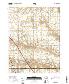

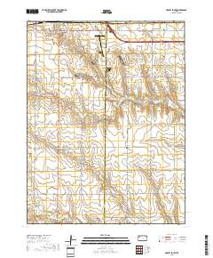
Product Details
- Product Number
- 487638
- Scale
- 1:24,000
- Version Date
- 01/01/2018
- Regions
- KS
- Countries
- USA
- Media
- Paper
- Format
- Flat
Additional Details
- Description
- OAKLEY NORTH, KS TNM GEOSPATIAL PDF 7.5X7.5 GRID 24000-SCALE 2017
- Survey Date
- 2018
- Height In Inches
- 29.000
- Length In Inches
- 24.000
- Boundary Type
- Quadrangle
- Pieces
- 1
Related Items