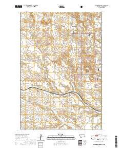
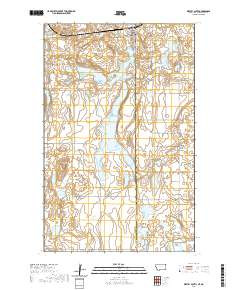
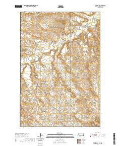
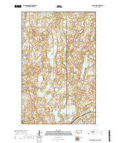
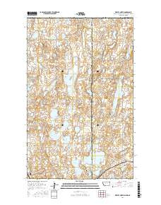
- Added IRMA, WI to cart. View cart.
- Added BONNER SPRINGS, KS HISTORICAL MAP GEOPDF to cart. View cart.
- Added CAT CREEK, CO to cart. View cart.
- Added HORSE THIEF SPRINGS, CA to cart. View cart.
- Added PEPPER CANYON, AZ to cart. View cart.
- Added BANGOR, CA to cart. View cart.
- Added HOUSTON RANCH, TX to cart. View cart.
- Added LOUISIANA - HIGHLIGHTING LOW-LYING AREAS to cart. View cart.
- Added STEWART FLAT, ID to cart. View cart.
- Added FREDERIC, WI to cart. View cart.
- Added PYRAMID PEAK, ID to cart. View cart.
- Added WESTBY NORTH, MT-ND to cart. View cart.
WESTBY NORTH, MT-ND
$15.00
Available
Product Details
- Product Number
- 512172
- Scale
- 1:24,000
- Version Date
- 01/01/2020
- Regions
- MT, ND, SK
- Countries
- Canada
- Media
- Paper
- Format
- Flat
Additional Details
- Description
- WESTBY NORTH, MT-ND TNM GEOSPATIAL PDF 7.5X7.5 GRID 24000-SCALE 2016
- Survey Date
- 2020
- Height In Inches
- 29.000
- Length In Inches
- 24.000
- Boundary Type
- Quadrangle
- Pieces
- 1
Related Items