- Added SEBRELL, VA to cart. View cart.
- Added PARKER, CO HISTORICAL MAP GEOPDF 7.5X7.5 to cart. View cart.
- Added GROVE HILL, AL to cart. View cart.
- Added BIG VALLEY SOUTH, TX to cart. View cart.
- Added FRANKFORT EAST, KY to cart. View cart.
- Added BLACK ROCK SPRING, WA HISTORICAL MAP GEO to cart. View cart.
- Added GERMANNA BRIDGE, VA to cart. View cart.
- Added TWO BUTTE SPRINGS, CO to cart. View cart.
- Added LIVINGSTON, KY to cart. View cart.
- Added ELKHORN CITY, KY-VA to cart. View cart.
- Added DURBIN, WV to cart. View cart.
- Added ELKHORN CITY, KY-VA HISTORICAL MAP GEOPD to cart. View cart.
- Added WHEELER LAKE, WI to cart. View cart.
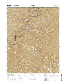
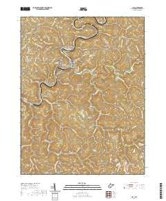
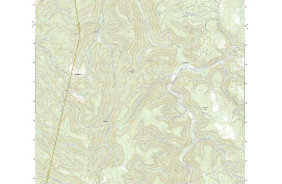
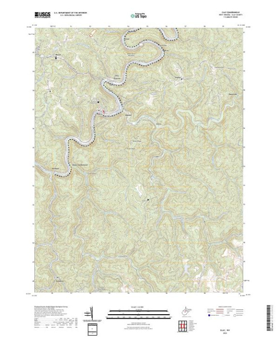
- Added CLAY, WV to cart. View cart.

Product Details
- Product Number
- 828716
- Scale
- 1:24,000
- Version Date
- 01/01/2023
- Regions
- WV
- Countries
- USA
- Media
- Paper
- Format
- Flat
- Digital Reproduction
- Yes
Additional Details
- Description
- CLAY, WV TNM GEOSPATIAL PDF 7.5X7.5 GRID 24000
- Survey Date
- 2023
- Print Date
- 2023
- Height In Inches
- 29.000
- Length In Inches
- 24.000
- Boundary Type
- Quadrangle
- Pieces
- 1
Related Items