- Added WATERLOO, WI to cart. View cart.
- Added SOUTH MILWAUKEE, WI to cart. View cart.
- Added EAST MESA SW, TX to cart. View cart.
- Added OKANOGAN-WENATCHEE NF - CHELAN, WA to cart. View cart.
- Added BUCKS COUNTY NORTH, PA to cart. View cart.
- Added BRIDGEPORT, CT-NY HISTORICAL MAP GEOPDF to cart. View cart.
- Added TAYLOR, WI to cart. View cart.
- Added SUN PRAIRIE, WI to cart. View cart.
- Added SOUTH COASTAL DRAINAGE BASIN, RI 1995-99 to cart. View cart.
- Added WEBSTER, WI to cart. View cart.
- Added TAKU RIVER C-6 NE, AK to cart. View cart.
- Added LATE CENOZOIC VOLCANIC CENTERS HAWAI, HI to cart. View cart.
- Added NEZ PERCE NF - SELWAY-BITTERROOT - SOUTH to cart. View cart.
- Added NOGALES, AZ to cart. View cart.
- Added NABESNA C-4 SW, AK to cart. View cart.
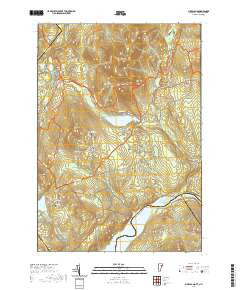
- Added MILES POND, VT-NH to cart. View cart.


Product Details
- Product Number
- 327602
- Scale
- 1:24,000
- Version Date
- 01/01/1967
- Regions
- VT, NH
- Countries
- USA
- Media
- Paper
- Format
- Flat
Additional Details
- Description
- MILES POND, VT-NH HISTORICAL MAP GEOPDF 7.5X7.5 GRID 24000-SCALE 1967
- Survey Date
- 1967
- Print Date
- 1972
- Height In Inches
- 26.900
- Length In Inches
- 22.000
- Boundary Type
- Quadrangle
- Pieces
- 1
Related Items
MILES POND, VT-NH HISTORICAL MAP GEOPDF 7.5X7.5 GRID 24000-SCALE 1967