- Added CONCORD, NH to cart. View cart.
- Added EDGEWATER, FL to cart. View cart.
- Added CONCORD, NH HISTORICAL MAP GEOPDF 7.5X7. to cart. View cart.
- Added SALYERSVILLE SOUTH, KY to cart. View cart.
- Added FREDERICK, MD-VA HISTORICAL MAP GEOPDF 3 to cart. View cart.
- Added HESPERIA, CA to cart. View cart.
- Added BELLOWS FALLS, VT-NH HISTORICAL MAP GEOP to cart. View cart.
- Added MADISON ARM, MT-ID to cart. View cart.

Product Details
- Product Number
- 483379
- Scale
- 1:24,000
- Version Date
- 01/01/2020
- Regions
- ID, MT
- Countries
- USA
- Media
- Paper
- Format
- Flat
Additional Details
- Description
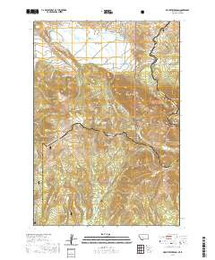
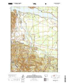
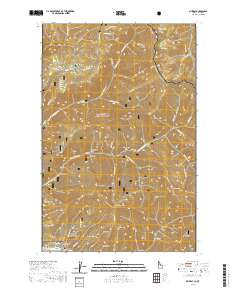
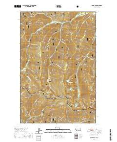
- MCGEE PEAK, MT-ID TNM GEOSPATIAL PDF 7.5X7.5 GRID 24000-SCALE 2018
- Survey Date
- 2020
- Height In Inches
- 29.000
- Length In Inches
- 24.000
- Boundary Type
- Quadrangle
- Pieces
- 1
Related Items