- Added CANTON SW, SD to cart. View cart.
- Added CINDER HILL, AZ to cart. View cart.
- Added KEENE, KY HISTORICAL MAP GEOPDF 7.5X7.5 to cart. View cart.
- Added BASS CREEK, MN-WI to cart. View cart.
- Added SANDERS, AZ to cart. View cart.
- Added POTATO WASH NORTH, AZ to cart. View cart.
- Added ENCINOSO, NM to cart. View cart.
- Added BLOCKTON, IA-MO HISTORICAL MAP GEOPDF 7. to cart. View cart.
- Added WHITERIVER, AZ HISTORICAL MAP GEOPDF 7.5 to cart. View cart.
- Added WEBER PEAK, AZ to cart. View cart.
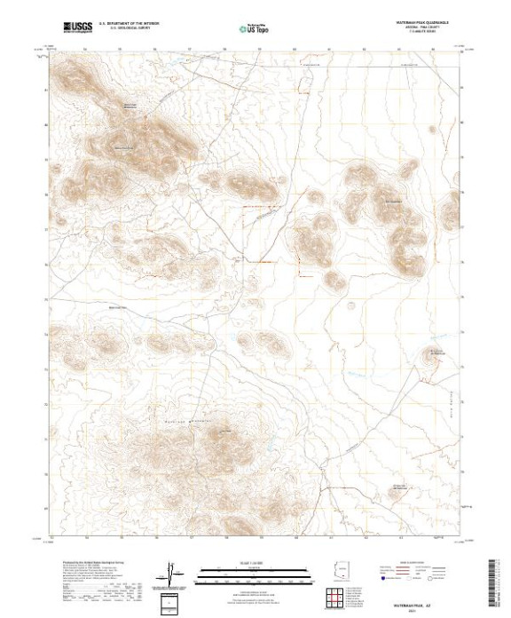

Product Details
- Product Number
- 739555
- Scale
- 1:24,000
- Version Date
- 01/01/2021
- Regions
- AZ
- Countries
- USA
- Media
- Paper
- Format
- Flat
- Digital Reproduction
- Yes
Additional Details
- Description
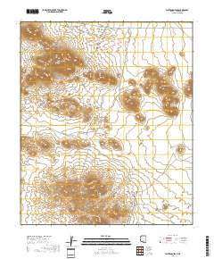
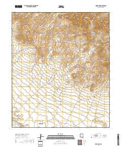
- WATERMAN PEAK, AZ TNM GEOSPATIAL PDF 7.5X7.5 GRID 24000
- Survey Date
- 2021
- Print Date
- 2021
- Height In Inches
- 29.000
- Length In Inches
- 24.000
- Boundary Type
- Quadrangle
- Pieces
- 1
Related Items