- Added HARLAN, KY HISTORICAL MAP GEOPDF 15X15 G to cart. View cart.
- Added STUART, VA to cart. View cart.
- Added HANSVILLE, WA to cart. View cart.
- Added FOUKE SE, AR HISTORICAL MAP GEOPDF 7.5X7 to cart. View cart.
- Added LOWER WHEATFIELDS, AZ to cart. View cart.
- Added CARROLLTON, AL to cart. View cart.
- Added GRANTS PASS, OR to cart. View cart.
- Added RINGGOLD, OH to cart. View cart.

Product Details
- Product Number
- 501380
- Scale
- 1:24,000
- Version Date
- 01/01/2019
- Regions
- OH
- Countries
- USA
- Media
- Paper
- Format
- Flat
Additional Details
- Description
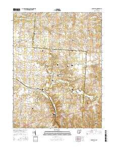
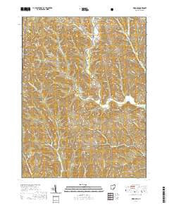
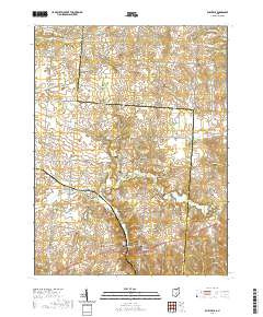
- RUSHVILLE, OH TNM GEOSPATIAL PDF 7.5X7.5 GRID 24000-SCALE 2015
- Survey Date
- 2019
- Height In Inches
- 29.000
- Length In Inches
- 24.000
- Boundary Type
- Quadrangle
- Pieces
- 1
Related Items