- Added PAUL RESERVOIR, ID-MT HISTORICAL MAP GEO to cart. View cart.
- Added COTTER, AR to cart. View cart.
- Added BEDFORD SW, MO-IA to cart. View cart.
- Added SNYDER, AR to cart. View cart.
- Added KELLER FERRY, WA to cart. View cart.
- Added LACLEDE, KS HISTORICAL MAP GEOPDF 7.5X7. to cart. View cart.
- Added RUBY LEE RESERVOIR, CO to cart. View cart.
- Added OWYHEE, NV-ID HISTORICAL MAP GEOPDF 15X1 to cart. View cart.
- Added LIMERICK SE, GA HISTORICAL MAP GEOPDF 7. to cart. View cart.
- Added BROCK, MO-IA to cart. View cart.

Product Details
- Product Number
- 509860
- Scale
- 1:24,000
- Version Date
- 01/01/2018
- Regions
- IA, MO
- Countries
- USA
- Media
- Paper
- Format
- Flat
Additional Details
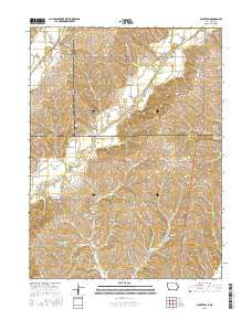
- Description
- BLOCKTON, IA-MO TNM GEOSPATIAL PDF 7.5X7.5 GRID 24000-SCALE 2017
- Survey Date
- 2018
- Height In Inches
- 29.000
- Length In Inches
- 24.000
- Boundary Type
- Quadrangle
- Pieces
- 1
Related Items