- Added OELWEIN, IA HISTORICAL MAP GEOPDF 30X30 to cart. View cart.
- Added LAUREL, IA HISTORICAL MAP GEOPDF 7.5X7.5 to cart. View cart.
- Added CHEROKEE SOUTH, IA HISTORICAL MAP GEOPDF to cart. View cart.
- Added KINGSLEY, IA HISTORICAL MAP GEOPDF 7.5X7 to cart. View cart.
- Added MENDOTA, MO-IA HISTORICAL MAP GEOPDF 7.5 to cart. View cart.
- Added NEW SHARON, IA to cart. View cart.
- Added WINTERSET, IA to cart. View cart.
- Added SAWMILL CREEK, ID to cart. View cart.
- Added GARRISON, IA to cart. View cart.

Product Details
- Product Number
- 53294
- Scale
- 1:24,000
- Alternate ID
- TIA0360
- ISBN
- 978-0-607-16011-6
- Version Date
- 01/01/1971
- Regions
- IA
- Countries
- USA
- Media
- Paper
- Format
- Flat
- Digital Reproduction
- Yes
Additional Details
- Description
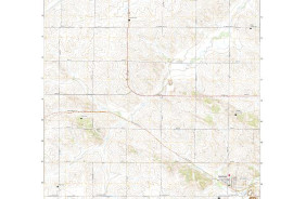
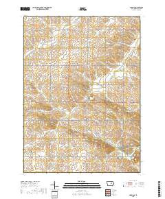
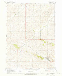
- GARRISON, IA HISTORICAL MAP GEOPDF 7.5X7.5 GRID 24000-SCALE 1971
- Survey Date
- 1971
- Print Date
- 1973
- Height In Inches
- 26.900
- Length In Inches
- 22.100
- Boundary Type
- Quadrangle
- Two Sided
- No
- Pieces
- 1
- Languages
- English
Related Items

GARRISON, IA HISTORICAL MAP GEOPDF 7.5X7.5 GRID 24000-SCALE 1971