
- Added DANVILLE, IL-IN HISTORICAL MAP GEOPDF 15 to cart. View cart.
- Added SOCORRO, NM to cart. View cart.
- Added BLAKESLEE, PA HISTORICAL MAP GEOPDF 7.5X to cart. View cart.
- Added WINDSOR, MA to cart. View cart.
- Added POCAHONTAS, VA-WV HISTORICAL MAP GEOPDF to cart. View cart.
- Added MOUNT KIT CARSON, WA to cart. View cart.
- Added DANVILLE SE, IL-IN HISTORICAL MAP GEOPDF to cart. View cart.
- Added DELAWARE WATER GAP, PA-NJ HISTORICAL MAP to cart. View cart.
- Added MOHAVE MINE, AZ to cart. View cart.
- Added COLVILLE, WA to cart. View cart.
- Added A SIMPLE FIELD LEACH TEST FOR RAPID to cart. View cart.
- Added WEST CANYON CREEK, AZ to cart. View cart.

Product Details
- Product Number
- 494930
- Scale
- 1:24,000
- Version Date
- 01/01/2021
- Regions
- AZ, SON
- Countries
- Mexico
- Media
- Paper
- Format
- Flat
Additional Details
- Description
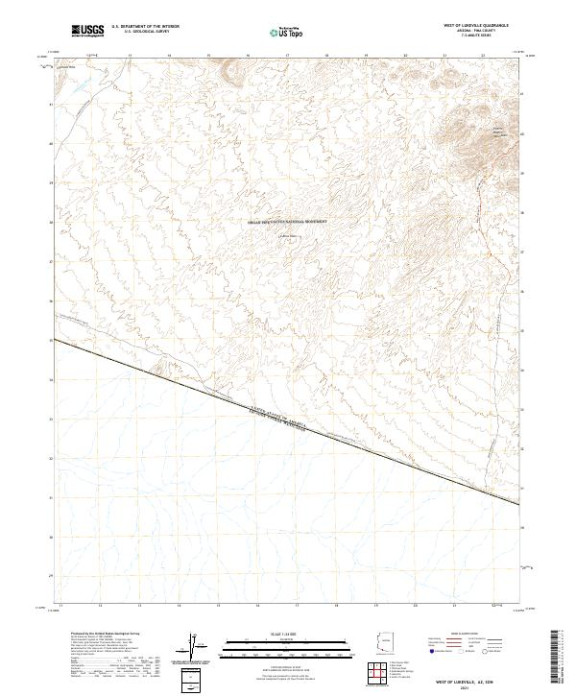
- WEST OF LUKEVILLE, AZ TNM GEOSPATIAL PDF 7.5X7.5 GRID 24000-SCALE 2019
- Survey Date
- 2021
- Height In Inches
- 29.000
- Length In Inches
- 24.000
- Boundary Type
- Quadrangle
- Pieces
- 1
Related Items
WEST OF QUITOBAQUITO SPRINGS, AZ TNM GEOSPATIAL PDF 7.5X7.5 GRID 24000-SCALE 2019