
- Added CALAMITY BUTTE, OR HISTORICAL MAP GEOPDF to cart. View cart.
- Added LAMAR EAST, CO to cart. View cart.
- Added HANOVER, NH-VT to cart. View cart.
- Added GUASTI, CA HISTORICAL MAP GEOPDF 7.5X7.5 to cart. View cart.
- Added CACTUS PEAK, CA to cart. View cart.
- Added PAN TAK, AZ to cart. View cart.
- Added THAYER, MO HISTORICAL MAP GEOPDF 15X15 G to cart. View cart.
- Added GRANITE POINT, WA to cart. View cart.
- Added JACKSONVILLE, FL to cart. View cart.
- Added LOWER PICEANCE CREEK AREA, CO to cart. View cart.
- Added SWASEY PEAK, UT to cart. View cart.
- Added OLGA, ND to cart. View cart.
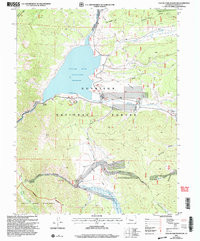
- Added TAYLOR PARK RESERVOIR, CO to cart. View cart.

Product Details
- Product Number
- 49357
- Scale
- 1:24,000
- Alternate ID
- TCO1870
- ISBN
- 978-0-607-89240-6
- Version Date
- 01/01/2001
- Regions
- CO
- Countries
- USA
- Media
- Paper
- Format
- Flat
- Digital Reproduction
- Yes
Additional Details
- Description
- TAYLOR PARK RESERVOIR, CO
- Survey Date
- 1967
- Print Date
- 1971
- Height In Inches
- 27.000
- Length In Inches
- 21.750
- Boundary Type
- Quadrangle
- Two Sided
- No
- Pieces
- 1
- Languages
- English
Related Items
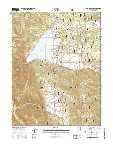
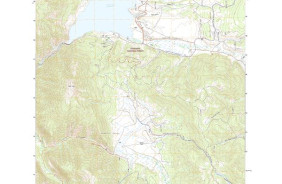

TAYLOR PARK RESERVOIR, CO HISTORICAL MAP GEOPDF 7.5X7.5 GRID 24000-SCALE 1967