- Added KRIDER, NM HISTORICAL MAP GEOPDF 7.5X7.5 to cart. View cart.
- Added KIMBETO, NM to cart. View cart.
- Added KEMMERER RESERVOIR, WY to cart. View cart.
- Added FORT GARLAND, CO to cart. View cart.
- Added WILLOW SPRING CANYON, AZ HISTORICAL MAP to cart. View cart.
- Added CONNOR RIDGE, ID HISTORICAL MAP GEOPDF 7 to cart. View cart.
- Added BALDWINSVILLE, NY HISTORICAL MAP GEOPDF to cart. View cart.
- Added FOUR BAR J RANCH, WY to cart. View cart.
- Added COCHISE STRONGHOLD, AZ HISTORICAL MAP GE to cart. View cart.
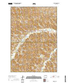
- Added HORSE BUTTE, WY to cart. View cart.
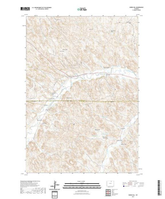

Product Details
- Product Number
- 502265
- Scale
- 1:24,000
- Version Date
- 01/01/2021
- Regions
- WY
- Countries
- USA
- Media
- Paper
- Format
- Flat
Additional Details
- Description
- HORSE HILL, WY TNM GEOSPATIAL PDF 7.5X7.5 GRID 24000-SCALE 2018
- Survey Date
- 2021
- Height In Inches
- 29.000
- Length In Inches
- 24.000
- Boundary Type
- Quadrangle
- Pieces
- 1
Related Items