- Added BULL RUSH PEAK, UT to cart. View cart.
- Added HILMAN LAKE, MN to cart. View cart.
- Added DENVER EAST, CO to cart. View cart.
- Added SAN MATEO, NM to cart. View cart.
- Added HASTINGS, ND HISTORICAL MAP GEOPDF 7.5X7 to cart. View cart.
- Added LA PINE, OR to cart. View cart.
- Added CONATA, SD HISTORICAL MAP GEOPDF 7.5X7.5 to cart. View cart.
- Added WEST DANBY, NY HISTORICAL MAP GEOPDF 7.5 to cart. View cart.
- Added GRAVEN RIDGE, CA HISTORICAL MAP GEOPDF 7 to cart. View cart.
- Added DARLINGTON EAST, SC to cart. View cart.
- Added DANVERS, MT to cart. View cart.
- Added ROSWELL, NM HISTORICAL MAP GEOPDF 30X60 to cart. View cart.
- Added NORTH CANTON, OH to cart. View cart.
- Added BURTON, MO to cart. View cart.

Product Details
- Product Number
- 480256
- Scale
- 1:24,000
- Version Date
- 01/01/2021
- Regions
- MO
- Countries
- USA
- Media
- Paper
- Format
- Flat
Additional Details
- Description
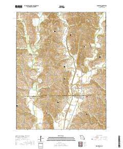
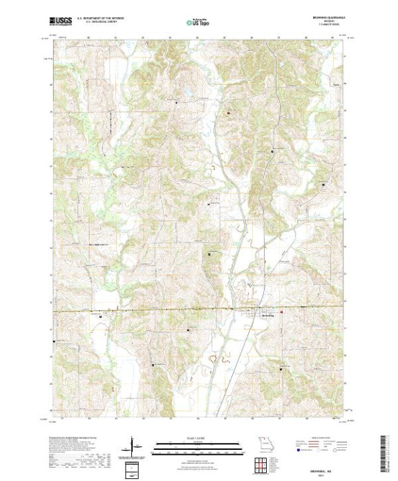
- BROWNING, MO TNM GEOSPATIAL PDF 7.5X7.5 GRID 24000-SCALE 2020
- Survey Date
- 2021
- Height In Inches
- 29.000
- Length In Inches
- 24.000
- Boundary Type
- Quadrangle
- Pieces
- 1
Related Items