- Added MOUNT JUDEA, AR HISTORICAL MAP GEOPDF 15 to cart. View cart.
- Added WARE, IL-MO to cart. View cart.
- Added CANAAN, IN to cart. View cart.
- Added WARE, IL-MO HISTORICAL MAP GEOPDF 7.5X7. to cart. View cart.
- Added HAYFORK, CA to cart. View cart.
- Added POTSDAM, NY to cart. View cart.
- Added SACRAMENTO WEST, CA to cart. View cart.
- Added GREEN POND, SC HISTORICAL MAP GEOPDF 7.5 to cart. View cart.
- Added REDDING, CA HISTORICAL MAP GEOPDF 15X15 to cart. View cart.
- Added WATER RESOURCES OF SABINE PARISH, LA to cart. View cart.
- Added WEBSTER SPRINGS, WV to cart. View cart.
- Added LEVANT, KS to cart. View cart.

Product Details
- Product Number
- 473384
- Scale
- 1:24,000
- Version Date
- 01/01/2018
- Regions
- KS
- Countries
- USA
- Media
- Paper
- Format
- Flat
Additional Details
- Description
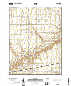
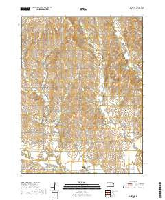
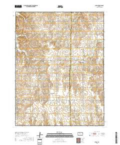
- LATON, KS TNM GEOSPATIAL PDF 7.5X7.5 GRID 24000-SCALE 2017
- Survey Date
- 2018
- Height In Inches
- 29.000
- Length In Inches
- 24.000
- Boundary Type
- Quadrangle
- Pieces
- 1
Related Items