- Added STILLWATER, MN to cart. View cart.
- Added CONTROLLED PHOTOMOSAIC COPRATES NW MARS to cart. View cart.
- Added CHARLES CITY COUNTY, VA to cart. View cart.
- Added MADISON, WI HISTORICAL MAP GEOPDF 15X15 to cart. View cart.
- Added ROCKY HILLS, NV to cart. View cart.
- Added FOLSOM, CA to cart. View cart.
- Added STENULSON COULEE, WI to cart. View cart.
- Added FROSTY MEADOW, WA to cart. View cart.
- Added SEDIMENT TRANSPORT YELLOWSTONE RIVER, MT to cart. View cart.
- Added ROBERTSON, WY HISTORICAL MAP GEOPDF 7.5X to cart. View cart.
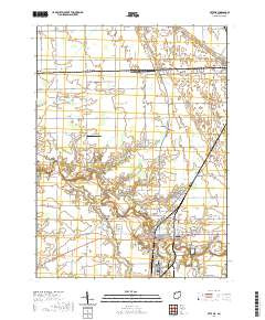
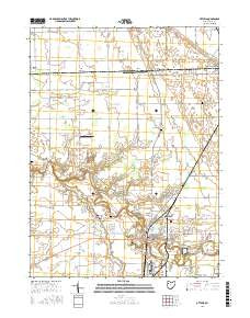
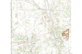
- Added OTTAWA, OH to cart. View cart.
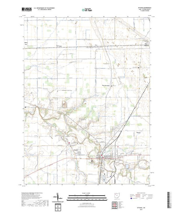

Product Details
- Product Number
- 822065
- Scale
- 1:24,000
- Version Date
- 01/01/2023
- Regions
- OH
- Countries
- USA
- Media
- Paper
- Format
- Flat
- Digital Reproduction
- Yes
Additional Details
- Description
- OTTAWA, OH TNM GEOSPATIAL PDF 7.5X7.5 GRID 24000
- Survey Date
- 2023
- Print Date
- 2023
- Height In Inches
- 29.000
- Length In Inches
- 24.000
- Boundary Type
- Quadrangle
- Pieces
- 1
Related Items