- Added LOWER WATERFORD, VT-NH HISTORICAL MAP GE to cart. View cart.
- Added EMMET, AR to cart. View cart.
- Added CRAIG C-4 SE, AK to cart. View cart.
- Added BROADUS, MT-WY HISTORICAL MAP GEOPDF 30X to cart. View cart.
- Added MOUNT BAKER, WA HISTORICAL MAP GEOPDF 30 to cart. View cart.
- Added LAFAYETTE, AL to cart. View cart.
- Added CRAIG C-2 NW, AK to cart. View cart.
- Added SNOQUALMIE PASS, WA to cart. View cart.
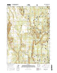
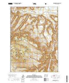
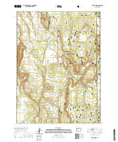
- Added ANTLER POINT, OR to cart. View cart.

Product Details
- Product Number
- 468609
- Scale
- 1:24,000
- Version Date
- 01/01/2020
- Regions
- OR
- Countries
- USA
- Media
- Paper
- Format
- Flat
Additional Details
- Description
- ANTLER POINT, OR TNM GEOSPATIAL PDF 7.5X7.5 GRID 24000-SCALE 2016
- Survey Date
- 2020
- Height In Inches
- 29.000
- Length In Inches
- 24.000
- Boundary Type
- Quadrangle
- Pieces
- 1
Related Items