- Added HERTEL, WI HISTORICAL MAP GEOPDF 7.5X7.5 to cart. View cart.
- Added SHADOW LAKE, WI to cart. View cart.
- Added EAST LEROY, MI to cart. View cart.
- Added MOUTH OF SHAW CREEK, KS to cart. View cart.
- Added COLEMAN, WI HISTORICAL MAP GEOPDF 15X15 to cart. View cart.
- Added MILFORD SQUARE, PA to cart. View cart.
- Added CONTROLLED PHOTOMOSAIC COPRATES NW MARS to cart. View cart.
- Added WEST SALEM, WI to cart. View cart.
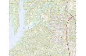
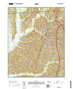
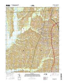
- Added GREEN LEVEL, NC to cart. View cart.

Product Details
- Product Number
- 778125
- Scale
- 1:24,000
- Version Date
- 01/01/2016
- Regions
- NC
- Countries
- USA
- Media
- Paper
- Format
- Flat
- Digital Reproduction
- Yes
Additional Details
- Description
- GREEN LEVEL, NC TNM GEOPDF 7.5X7.5 GRID 24000
- Survey Date
- 2016
- Print Date
- 2016
- Height In Inches
- 29.000
- Length In Inches
- 24.000
- Boundary Type
- Quadrangle
- Pieces
- 1
Related Items