- Added TEAPOT ROCK, WY to cart. View cart.
- Added GREAT BARRINGTON, MA to cart. View cart.
- Added QUABBIN RESERVOIR, MA to cart. View cart.
- Added LOWER PAHRANAGAT LAKE, NV HISTORICAL MAP to cart. View cart.
- Added WILD HORSE CANYON, TX HISTORICAL MAP GEO to cart. View cart.
- Added DOUGLAS DAM, TN HISTORICAL MAP GEOPDF 7. to cart. View cart.
- Added SCHOONOVER, WA HISTORICAL MAP GEOPDF 7.5 to cart. View cart.
- Added EAST CHATTANOOGA, TN to cart. View cart.
- Added WARD MOUNTAIN, MT HISTORICAL MAP GEOPDF to cart. View cart.
- Added LONGHORN, TX to cart. View cart.
- Added LIPAN, TX HISTORICAL MAP GEOPDF 7.5X7.5 to cart. View cart.
- Added COLUMBIA, TN HISTORICAL MAP GEOPDF 7.5X7 to cart. View cart.
- Added LARUE, TX HISTORICAL MAP GEOPDF 7.5X7.5 to cart. View cart.
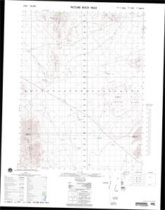
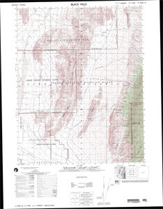
- Added LIVINGSTON HILLS, AZ to cart. View cart.
Product Details
- Product Number
- 103726
- Scale
- 1:50,000
- Alternate ID
- TUT2221
- Version Date
- 01/01/1987
- Regions
- UT
- Countries
- USA
- Media
- Paper
- Format
- Folded
Additional Details
- Description
- V797X32614 ED. 1
- Survey Date
- 1987
- Print Date
- 1989
- Boundary Type
- Quadrangle
- Two Sided
- No
- Pieces
- 1
- Languages
- English
Related Items