- Added NORTH TROY, VT to cart. View cart.
- Added SPRING HILL, AR to cart. View cart.
- Added BLUE HILL, MT to cart. View cart.
- Added ABBOTT NW, NM to cart. View cart.
- Added NICHOL FLAT, ID HISTORICAL MAP GEOPDF 7. to cart. View cart.
- Added PIMENTO, IN to cart. View cart.
- Added LONG MOUNTAIN, AZ to cart. View cart.
- Added COLLINS BUTTE, OR to cart. View cart.
- Added PORTAL PEAK, AZ to cart. View cart.

Product Details
- Product Number
- 42856
- Scale
- 1:24,000
- Alternate ID
- TAZ2458
- ISBN
- 978-0-607-97772-1
- Version Date
- 01/01/1997
- Regions
- AZ
- Countries
- USA
- Media
- Paper
- Format
- Flat
- Digital Reproduction
- Yes
Additional Details
- Description
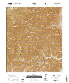
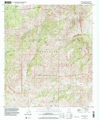
- PORTAL PEAK, AZ HISTORICAL MAP GEOPDF 7.5X7.5 GRID 24000-SCALE 1997
- Survey Date
- 1997
- Print Date
- 2003
- Height In Inches
- 26.800
- Length In Inches
- 22.000
- Boundary Type
- Quadrangle
- Two Sided
- No
- Pieces
- 1
- Languages
- English
Related Items

PORTAL PEAK, AZ HISTORICAL MAP GEOPDF 7.5X7.5 GRID 24000-SCALE 1997