- Added KRIDER, NM HISTORICAL MAP GEOPDF 7.5X7.5 to cart. View cart.
- Added KIMBETO, NM to cart. View cart.
- Added KEMMERER RESERVOIR, WY to cart. View cart.
- Added FORT GARLAND, CO to cart. View cart.
- Added WILLOW SPRING CANYON, AZ HISTORICAL MAP to cart. View cart.
- Added CONNOR RIDGE, ID HISTORICAL MAP GEOPDF 7 to cart. View cart.
- Added BALDWINSVILLE, NY HISTORICAL MAP GEOPDF to cart. View cart.
- Added FOUR BAR J RANCH, WY to cart. View cart.
- Added COCHISE STRONGHOLD, AZ HISTORICAL MAP GE to cart. View cart.
- Added HORSE BUTTE, WY to cart. View cart.
- Added EARLVILLE, NY to cart. View cart.
- Added WEST AUGUSTA, VA to cart. View cart.
- Added LUTHER, MI to cart. View cart.
- Added HENNESSY BUTTES, AZ to cart. View cart.
- Added NORTH TROY OE N, VT to cart. View cart.
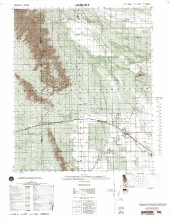
- Added MARICOPA, AZ to cart. View cart.
Product Details
- Product Number
- 41293
- Series
- V798X35502
- Scale
- 1:50,000
- Alternate ID
- TAZ0848
- Version Date
- 01/01/1978
- Regions
- AZ
- Countries
- USA
- Media
- Paper
- Format
- Flat
Additional Details
- Description
- EDITION 1
- Survey Date
- 1978
- Print Date
- 1999
- Height In Inches
- 29.390
- Length In Inches
- 23.170
- Boundary Type
- Quadrangle
- Two Sided
- No
- Pieces
- 1
- Languages
- English
Related Items