- Added FORT CRAIG, NM to cart. View cart.
- Added MAPLE GROVE, MI to cart. View cart.
- Added ARROYO TAPIADO, CA to cart. View cart.
- Added ANTELOPE PASS, MT to cart. View cart.
- Added FOREST LAKE, MI to cart. View cart.
- Added BALDY BASIN, AZ to cart. View cart.
- Added DATE CREEK RANCH SW, AZ to cart. View cart.
- Added DATE CREEK RANCH SE, AZ to cart. View cart.

Product Details
- Product Number
- 40833
- Scale
- 1:24,000
- Alternate ID
- TAZ0386
- ISBN
- 978-0-607-06491-9
- Version Date
- 01/01/1967
- Regions
- AZ
- Countries
- USA
- Media
- Paper
- Format
- Flat
- Digital Reproduction
- Yes
Additional Details
- Description
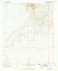
- DATE CREEK RANCH NW, AZ HISTORICAL MAP GEOPDF 7.5X7.5 GRID 24000-SCALE 1967
- Survey Date
- 1967
- Print Date
- 1969
- Height In Inches
- 26.900
- Length In Inches
- 22.000
- Boundary Type
- Quadrangle
- Two Sided
- No
- Pieces
- 1
- Languages
- English
Related Items