- Added PURDUM SW, NE to cart. View cart.
- Added BRUSHY BUTTE, SD to cart. View cart.
- Added UNIMAK A-5, AK to cart. View cart.
- Added THOMASVILLE, AL to cart. View cart.
- Added LIBERTYVILLE, IL to cart. View cart.
- Added MCGEHEE SOUTH, AR to cart. View cart.
- Added GOSHEN, AR to cart. View cart.
- Added STAPLETON, AL HISTORICAL MAP GEOPDF 7.5X to cart. View cart.
- Added COALING, AL HISTORICAL MAP GEOPDF 7.5X7. to cart. View cart.
- Added WESTON, AL to cart. View cart.
- Added ELLISTOWN, MS to cart. View cart.
- Added ONEONTA, AL HISTORICAL MAP GEOPDF 7.5X7. to cart. View cart.
- Added CLANTON, AL HISTORICAL MAP GEOPDF 30X60 to cart. View cart.
- Added BOGGY DRAW, CO to cart. View cart.
- Added AMBLER RIVER C-4, AK to cart. View cart.
- Added SEMINOLE, AL-FL to cart. View cart.
- Added FLORALA, AL HISTORICAL MAP GEOPDF 7.5X7. to cart. View cart.
- Added TRINITY, AL HISTORICAL MAP GEOPDF 7.5X7. to cart. View cart.
- Added GREENWOOD, AL to cart. View cart.
- Added AMBLER RIVER B-5, AK to cart. View cart.
- Added BELLAMY, AL to cart. View cart.
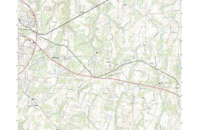
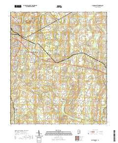
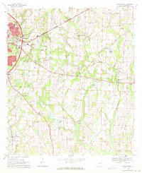
- Added DOTHAN EAST, AL to cart. View cart.

Product Details
- Product Number
- 829480
- Scale
- 1:24,000
- Version Date
- 01/01/1969
- Regions
- AL
- Countries
- USA
- Media
- Paper
- Format
- Flat
- Digital Reproduction
- Yes
Additional Details
- Description
- DOTHAN EAST, AL HISTORICAL MAP GEOPDF 7.5X7.5 GRID 24000-SCALE 1969
- Survey Date
- 1969
- Print Date
- 1971
- Boundary Type
- Quadrangle
- Pieces
- 1
Related Items