
Added ALASKA E, AK to cart. View cart.

Product Details
- Product Number
- 32358
- Scale
- 1:2,500,000
- Alternate ID
- GSG0002-1T
- ISBN
- 978-0-607-82541-1
- Version Date
- 01/01/1980
- Regions
- AK
- Countries
- USA
- Media
- Paper
- Format
- Flat
- Digital Reproduction
- Yes
Additional Details
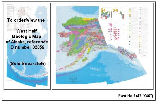
- Description
- Geologic Map of Alaska is an excellent educational tool that shows the sedimentary rock sequence, igneous and metamorphic rocks, geologic time periods, volcanic activity, and structural features such as folds and faults. **** East Half (43"x46") ID number 32358 and West Half (27"x46") ID number 32359.
- Survey Date
- 1980
- Print Date
- 1980
- Height In Inches
- 46.000
- Length In Inches
- 43.000
- Boundary Type
- Political Unit
- Two Sided
- No
- Pieces
- 1
- Languages
- English
Related Items


