
Product Details
- Product Number
- 36515
- Scale
- 1:250,000
- Alternate ID
- TAK2343
- ISBN
- 978-0-607-03242-0
- Version Date
- 01/01/1985
- Regions
- AK
- Countries
- USA
- Media
- Paper
- Format
- Flat
- Digital Reproduction
- Yes
Additional Details
- Description
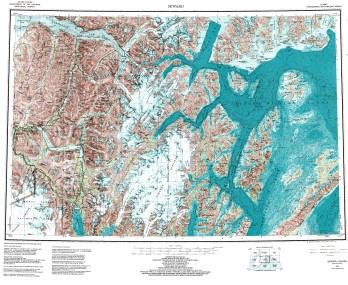
- SEWARD, AK
- Survey Date
- 1985
- Print Date
- 1987
- Height In Inches
- 23.000
- Length In Inches
- 34.000
- Boundary Type
- Quadrangle
- Two Sided
- No
- Pieces
- 1
- Languages
- English
Related Items