
- Added LONG CREEK, CO to cart. View cart.
- Added ROUND BOTTOM, CO to cart. View cart.
- Added PINE MOUNTAIN, CO to cart. View cart.
- Added JOPPA - PART OF, KY to cart. View cart.
- Added PATRICK BUTTE, ID to cart. View cart.
- Added RUIN POINT, UT-CO to cart. View cart.
- Added ALLANTON, FL to cart. View cart.
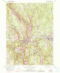
- Added THOMASTON, CT to cart. View cart.

Product Details
- Product Number
- 49977
- Scale
- 1:24,000
- Alternate ID
- TCT0101
- ISBN
- 978-0-607-13430-8
- Version Date
- 01/01/1976
- Regions
- CT
- Countries
- USA
- Media
- Paper
- Format
- Flat
- Digital Reproduction
- Yes
Additional Details
- Description
- THOMASTON, CT HISTORICAL MAP GEOPDF 7.5X7.5 GRID 24000-SCALE 1956
- Survey Date
- 1956
- Print Date
- 1990
- Height In Inches
- 27.000
- Length In Inches
- 21.750
- Boundary Type
- Quadrangle
- Two Sided
- No
- Pieces
- 1
- Languages
- English
Related Items

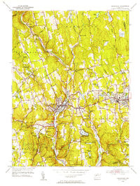
THOMASTON, CT HISTORICAL MAP GEOPDF 7.5X7.5 GRID 31680-SCALE 1956