
- Added WHETSTONE POINT, OR to cart. View cart.
- Added DORIS, WA HISTORICAL MAP GEOPDF 7.5X7.5 to cart. View cart.
- Added BOSTON, MA-NH-RI-CT-ME to cart. View cart.
- Added LAKE MCMILLAN SOUTH, NM TNM GEOSPATIAL P to cart. View cart.
- Added YOUNGSTOWN, OH-PA HISTORICAL MAP GEOPDF to cart. View cart.
- Added TROY, AL to cart. View cart.
- Added GRAYSON, NC-TN-VA to cart. View cart.
- Added RATTLESNAKE LAKE, SD to cart. View cart.
- Added MORRISON, IL to cart. View cart.


Product Details
- Product Number
- 348285
- Scale
- 1:48,000
- Version Date
- 01/01/1935
- Regions
- MO
- Countries
- USA
- Media
- Paper
- Format
- Flat
Additional Details
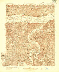
- Description
- MORRISON, MO HISTORICAL MAP GEOPDF 15X15 GRID 48000-SCALE 1935
- Survey Date
- 1935
- Height In Inches
- 27.000
- Length In Inches
- 21.900
- Boundary Type
- Quadrangle
- Pieces
- 1
Related Items
MORRISON, MO HISTORICAL MAP GEOPDF 15X15 GRID 48000-SCALE 1935