Added RUBY D-4, AK to cart. View cart.


Product Details
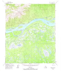
- Product Number
- 346278
- Scale
- 1:63,360
- Version Date
- 01/01/1953
- Regions
- AK
- Countries
- USA
- Media
- Paper
- Format
- Flat
Additional Details
- Description
- RUBY D-4, AK HISTORICAL MAP GEOPDF 15X15 GRID 63360-SCALE 1953
- Survey Date
- 1953
- Print Date
- 1967
- Height In Inches
- 21.600
- Length In Inches
- 18.000
- Boundary Type
- Quadrangle
- Pieces
- 1
Related Items