Product Details
- Product Number
- 344371
- Scale
- 1:250,000
- Version Date
- 01/01/1980
- Regions
- AK
- Countries
- USA
- Media
- Paper
- Format
- Flat
Additional Details
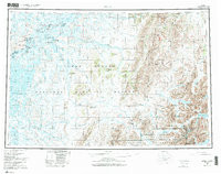
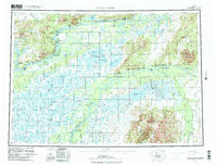
- Description
- BETHEL, AK HISTORICAL MAP GEOPDF 1X3 GRID 250000-SCALE 1980
- Survey Date
- 1980
- Print Date
- 1987
- Height In Inches
- 22.600
- Length In Inches
- 29.900
- Boundary Type
- Quadrangle
- Pieces
- 1
Related Items