
- Added SOUTH MOUNTAIN, CO to cart. View cart.
- Added PILOT KNOB, CO to cart. View cart.
- Added PINEY PEAK, CO to cart. View cart.
- Added PAGODA PEAK, CO to cart. View cart.
- Added CREWSVILLE, FL to cart. View cart.
- Added LAND USE AND LAND COVER INFOR-, MD to cart. View cart.
- Added POWDER WASH, CO to cart. View cart.
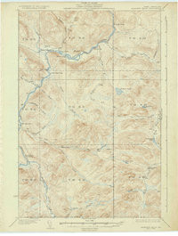
- Added ARNOLD POND, ME to cart. View cart.


Product Details
- Product Number
- 868561
- Scale
- 1:62,500
- Version Date
- 01/01/1935
- Regions
- ME
- Countries
- USA
- Media
- Paper
- Format
- Flat
- Digital Reproduction
- Yes
Additional Details
- Description
- ARNOLD POND, ME HISTORICAL MAP GEOPDF 15X15 GRID 62500-SCALE 1935
- Survey Date
- 1935
- Print Date
- 1944
- Boundary Type
- Quadrangle
- Pieces
- 1
Related Items

ARNOLD POND, ME HISTORICAL MAP GEOPDF 15X15 GRID 48000-SCALE 1932

ALLAGASH FALLS, ME HISTORICAL MAP GEOPDF 15X15 GRID 62500-SCALE 1935