
Added ARCHIVE DIGITAL BOOMER SEISMIC 02FGS01 to cart. View cart.

Product Details
- Product Number
- 209191
- Series
- DS-445
- Scale
- NO SCALE
- Alternate ID
- DS-445
- Authors
- 1USGS, ST PETERSBURG, FL
- Version Date
- 01/01/2008
- Regions
- FL
- Countries
- USA
- Media
- Electronic (Physical)
- Format
- DVD-ROM
- Digital Reproduction
- Yes
Additional Details
- Description
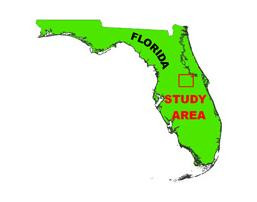
- Project Summary From September 2 through 4, 2008, the USGS and Saint Johns River Water Management District (SJRWMD) conducted geophysical surveys in Lakes Cherry, Helen, Hiawassee, Louisa, and Prevatt, located in central Florida, as part of the USGS Lakes and Coastal Aquifers (LCA) study. This report serves as an archive of unprocessed digital boomer seismic reflection data, trackline maps, navigation files, and formal FGDC metadata. Filtered and gained (a relative increase in signal amplitude) digital images of the seismic profiles are also provided.
- Height In Inches
- 5.000
- Length In Inches
- 5.500
- Pieces
- 1
- Languages
- English
Related Items

Archive of Digital Boomer Seismic Reflection Data Collected during USGS Cruise 02FGS01

Archive of Digital Boomer Seismic Reflection Data Collected During USGS Field Activity 96LCA04 in Lakes Mabel and Starr, Central Florida, August 1996
Archive of Digital Boomer Seismic Reflection Data Collected during USGS Cruises 96FGS01 & 97FGS01