
- Added WILSON RANCH, TX to cart. View cart.
- Added WEBB, WV-KY HISTORICAL MAP GEOPDF 7.5X7. to cart. View cart.
- Added CONNELL, WA HISTORICAL MAP GEOPDF 30X30 to cart. View cart.
- Added CLEAR LAKE, TX to cart. View cart.
- Added CLEAR LAKE, TX HISTORICAL MAP GEOPDF 7.5 to cart. View cart.
- Added APPLE GROVE, WV-OH HISTORICAL MAP GEOPDF to cart. View cart.
- Added ALAMITO CREEK, TX to cart. View cart.
- Added LACEY, WA to cart. View cart.
- Added WESTGARD PASS, CA HISTORICAL MAP GEOPDF to cart. View cart.
- Added DEADWOOD NORTH, SD to cart. View cart.

Product Details
- Product Number
- 909114
- Scale
- 1:125,000
- Version Date
- 01/01/1901
- Regions
- SD
- Countries
- USA
- Media
- Paper
- Format
- Flat
- Digital Reproduction
- Yes
Additional Details
- Description
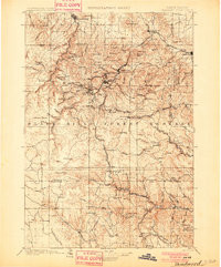
- DEADWOOD, SD HISTORICAL MAP GEOPDF 30X30 GRID 125000-SCALE 1901
- Survey Date
- 1901
- Print Date
- 1901
- Boundary Type
- Quadrangle
- Pieces
- 1
Related Items
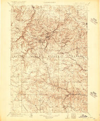
DEADWOOD, SD HISTORICAL MAP GEOPDF 30X30 GRID 125000-SCALE 1916
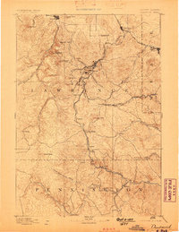
DEADWOOD, SD HISTORICAL MAP GEOPDF 30X30 GRID 125000-SCALE 1894
