
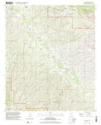

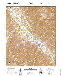
Product Details
- Product Number
- 41202
- Scale
- 1:24,000
- Alternate ID
- TAZ0757
- ISBN
- 978-0-607-96034-1
- Version Date
- 01/01/1998
- Regions
- AZ
- Countries
- USA
- Media
- Paper
- Format
- Flat
Additional Details
- Description
- KLONDYKE, AZ
- Survey Date
- 1998
- Print Date
- 2002
- Height In Inches
- 27.000
- Length In Inches
- 21.750
- Boundary Type
- Quadrangle
- Two Sided
- No
- Pieces
- 1
- Languages
- English
Related Items


KLONDYKE, AZ HISTORICAL MAP GEOPDF 7.5X7.5 GRID 24000-SCALE 1998