- Added BUNKER HILL, CA to cart. View cart.
- Added ROCKINSTRAW MOUNTAIN, AZ to cart. View cart.
- Added LIGHTHOUSE CANYON, UT to cart. View cart.
- Added DRAKE PEAK, OR to cart. View cart.
- Added BOZARTH MESA, AZ to cart. View cart.
- Added CHRISTIAN C-1, AK HISTORICAL MAP GEOPDF to cart. View cart.
- Added WILDCAT RANCH, AZ HISTORICAL MAP GEOPDF to cart. View cart.
- Added DRAKE PEAK NE, OR to cart. View cart.
- Added TATES BLUFF, AR to cart. View cart.
- Added PASADENA VALLEY, ID to cart. View cart.
- Added POCKET PRAIRIE, AR to cart. View cart.
- Added STINKING SPRINGS MOUNTAIN, AZ to cart. View cart.
- Added HIBERNIA PEAK, AZ to cart. View cart.

Product Details
- Product Number
- 41098
- Scale
- 1:24,000
- Alternate ID
- TAZ0653
- ISBN
- 978-0-607-06683-8
- Version Date
- 01/01/1972
- Regions
- AZ
- Countries
- USA
- Media
- Paper
- Format
- Flat
- Digital Reproduction
- Yes
Additional Details
- Description
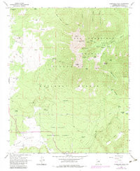
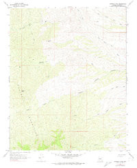
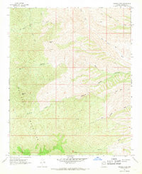
- HIBERNIA PEAK, AZ HISTORICAL MAP GEOPDF 7.5X7.5 GRID 24000-SCALE 1967
- Survey Date
- 1967
- Print Date
- 1974
- Height In Inches
- 26.900
- Length In Inches
- 22.000
- Boundary Type
- Quadrangle
- Two Sided
- No
- Pieces
- 1
- Languages
- English
Related Items

HIBERNIA PEAK, AZ HISTORICAL MAP GEOPDF 7.5X7.5 GRID 24000-SCALE 1967