- Added LITTLE TEXAS, AL to cart. View cart.
- Added BOUNDS LAKE, AL to cart. View cart.
- Added NEWELL, AL to cart. View cart.
- Added TISHOMINGO, MS-AL to cart. View cart.
- Added BETHESDA, TN to cart. View cart.
- Added TABLE MOUNTAIN, CO-WY to cart. View cart.
- Added HUNTINGTON, AR HISTORICAL MAP GEOPDF 7.5 to cart. View cart.
- Added LIVENGOOD A-1 SW, AK HISTORICAL MAP GEOP to cart. View cart.
- Added MALVERN, AR HISTORICAL MAP GEOPDF 15X15 to cart. View cart.
- Added SEMINOLE, FL to cart. View cart.
- Added LIVENGOOD A-2 SE, AK HISTORICAL MAP GEOP to cart. View cart.
- Added FORT STANTON, NM to cart. View cart.
- Added IDER, AL HISTORICAL MAP GEOPDF 7.5X7.5 G to cart. View cart.
- Added OAKMULGEE, AL to cart. View cart.
- Added HYATT GAP, AL to cart. View cart.

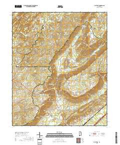
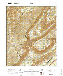
Product Details
- Product Number
- 38380
- Scale
- 1:24,000
- Alternate ID
- TAL0468
- ISBN
- 978-0-607-04811-7
- Version Date
- 01/01/1978
- Regions
- AL
- Countries
- USA
- Media
- Paper
- Format
- Flat
- Digital Reproduction
- Yes
Additional Details
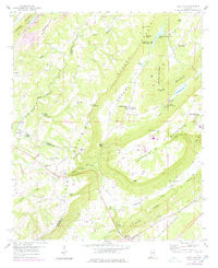
- Description
- 1200 DESTROYED 12/78
- Survey Date
- 1978
- Print Date
- 1978
- Height In Inches
- 26.900
- Length In Inches
- 22.000
- Boundary Type
- Quadrangle
- Two Sided
- No
- Pieces
- 1
- Languages
- English
Related Items