- Added BURNET, TX HISTORICAL MAP GEOPDF 30X30 G to cart. View cart.
- Added FISH LAKE, ID to cart. View cart.
- Added SOURDOUGH PEAK, ID to cart. View cart.
- Added RATTLESNAKE, NM to cart. View cart.
- Added COLUMBIA, MO to cart. View cart.
- Added CAPON BRIDGE, WV-VA HISTORICAL MAP GEOPD to cart. View cart.
- Added CORRAL CANYON, WA to cart. View cart.
- Added RONDO, AR to cart. View cart.
- Added FISH CREEK RESERVOIR, ID to cart. View cart.
- Added BASTROP, TX to cart. View cart.
- Added SHELL, SC to cart. View cart.
- Added TORRES, CO to cart. View cart.
- Added REDBANK, TX-AR to cart. View cart.
- Added SHREVEPORT, LA to cart. View cart.
- Added EASTVILLE, VA-NC-MD HISTORICAL MAP GEOPD to cart. View cart.
- Added BAKER, TX HISTORICAL MAP GEOPDF 7.5X7.5 to cart. View cart.
- Added BERGHOLZ, OH to cart. View cart.
- Added ABILENE, VA to cart. View cart.
- Added RUTH LAKE, CA to cart. View cart.


Product Details
- Product Number
- 309304
- Scale
- 1:24,000
- Version Date
- 01/01/1978
- Regions
- CA
- Countries
- USA
- Media
- Paper
- Format
- Flat
Additional Details
- Description
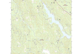
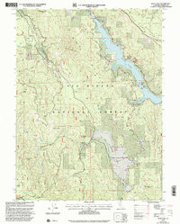
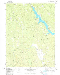
- RUTH LAKE, CA HISTORICAL MAP GEOPDF 7.5X7.5 GRID 24000-SCALE 1978
- Survey Date
- 1978
- Print Date
- 1991
- Height In Inches
- 26.700
- Length In Inches
- 21.400
- Boundary Type
- Quadrangle
- Pieces
- 1
Related Items
RUTH LAKE, CA HISTORICAL MAP GEOPDF 7.5X7.5 GRID 24000-SCALE 1978