

Product Details
- Product Number
- 56112
- Scale
- 1:24,000
- Alternate ID
- TID1993
- ISBN
- 978-0-607-99353-0
- Version Date
- 01/01/1998
- Regions
- ID, MT
- Countries
- USA
- Media
- Paper
- Format
- Flat
- Digital Reproduction
- Yes
Additional Details
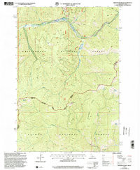
- Description
- HENDERSON RIDGE, ID-MT HISTORICAL MAP GEOPDF 7.5X7.5 GRID 24000-SCALE 1998
- Survey Date
- 1998
- Print Date
- 2002
- Height In Inches
- 26.800
- Length In Inches
- 22.000
- Boundary Type
- Quadrangle
- Two Sided
- No
- Pieces
- 1
- Languages
- English
Related Items

BITTERROOT NATIONAL FOREST, MONTANA AND IDAHO - ATLAS - 7½ QUADRANGLE TOPOGRAPHIC MAPS
