
- Added WATER QUAL WHITE RIVER BASIN 1992-96, IN to cart. View cart.
- Added LATE CENOZOIC TECTONISM SACRAMENTO, CA to cart. View cart.
- Added MOSQUITO PEAK, ID to cart. View cart.
- Added LAND USE CLASSIFICATION MAP, ID to cart. View cart.
- Added RUBY RANGE - NORTHERN PART, MT to cart. View cart.
- Added GOVERNMENT HILL AREA - ANCHORA, AK to cart. View cart.
- Added LAND USE AND LAND COVER, MD to cart. View cart.

Product Details
- Product Number
- 29866
- Series
- MF-872
- Scale
- 1:100,000
- Alternate ID
- GMF0872D
- ISBN
- 978-0-607-80325-9
- Authors
- HACKMAN, R. J.
- Version Date
- 01/01/1977
- Regions
- ID
- Countries
- USA
- Media
- Paper
- Format
- Folded
Additional Details
- Description
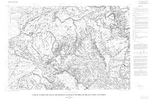
- Land-use classification map of the NW quarter of the Driggs Quadrangle, Idaho and Wyoming
- Survey Date
- 1973
- Print Date
- 1977
- Boundary Type
- Quadrangle
- Two Sided
- No
- Pieces
- 1
- Languages
- English
Related Items

A land use and land cover classification system for use with remote sensor data

Land use and land cover, Central Atlantic Regional Ecological Test Site (CARETS), 1972
Leasable mineral and waterpower land classification map of the Vernal 1 degree by 2 degrees Quadrangle, Utah and Colorado