
- Added CNTROLED PHOTOMOSAIC ISMENIUS LACUS MARS to cart. View cart.
- Added PHOTOMOSAIC PHOENICIS LACUS NE MARS to cart. View cart.
- Added TOPO MAP PHOENICUS LACUS QUADRANGLE MARS to cart. View cart.
- Added SPRINGFIELD NORTH, MA to cart. View cart.
- Added NAPOLEON EAST, OH to cart. View cart.
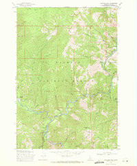
- Added WILLIAMS PEAK, ID to cart. View cart.


Product Details
- Product Number
- 291465
- Scale
- 1:24,000
- Version Date
- 01/01/1969
- Regions
- ID
- Countries
- USA
- Media
- Paper
- Format
- Flat
Additional Details
- Description
- WILLIAMS PEAK, ID HISTORICAL MAP GEOPDF 7.5X7.5 GRID 24000-SCALE 1969
- Survey Date
- 1969
- Print Date
- 1978
- Height In Inches
- 26.800
- Length In Inches
- 22.000
- Boundary Type
- Quadrangle
- Pieces
- 1
Related Items
WILLIAMS PEAK, ID HISTORICAL MAP GEOPDF 7.5X7.5 GRID 24000-SCALE 1969

