Added CHOTEAU, MT to cart. View cart.


Product Details
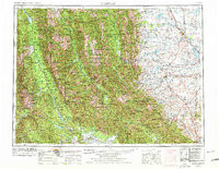
- Product Number
- 285080
- Scale
- 1:250,000
- Version Date
- 01/01/1955
- Regions
- MT
- Countries
- USA
- Media
- Paper
- Format
- Flat
Additional Details
- Description
- CHOTEAU, MT HISTORICAL MAP GEOPDF 1X2 GRID 250000-SCALE 1955
- Survey Date
- 1955
- Print Date
- 1978
- Height In Inches
- 21.900
- Length In Inches
- 28.300
- Boundary Type
- Quadrangle
- Pieces
- 1
Related Items