- Added WILD HORSE CANYON, TX HISTORICAL MAP GEO to cart. View cart.
- Added CONWAY, TX to cart. View cart.
- Added FLORIEN, LA to cart. View cart.
- Added BOX ELDER CREEK, MT to cart. View cart.
- Added WILD HORSE CANYON, TX to cart. View cart.
- Added ROBERTSDALE, AL-FL HISTORICAL MAP GEOPDF to cart. View cart.
- Added TYBEE ISLAND SOUTH, GA to cart. View cart.
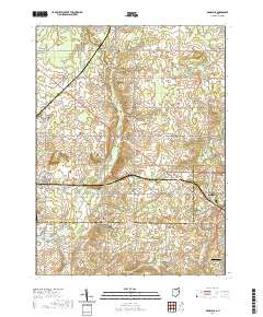
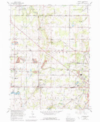
- Added DAMASCUS, OH to cart. View cart.


Product Details
- Product Number
- 269388
- Scale
- 1:24,000
- Version Date
- 01/01/1966
- Regions
- OH
- Countries
- USA
- Media
- Paper
- Format
- Flat
Additional Details
- Description
- DAMASCUS, OH HISTORICAL MAP GEOPDF 7.5X7.5 GRID 24000-SCALE 1966
- Survey Date
- 1966
- Print Date
- 1968
- Height In Inches
- 26.900
- Length In Inches
- 22.100
- Boundary Type
- Quadrangle
- Pieces
- 1
Related Items
DAMASCUS, OH HISTORICAL MAP GEOPDF 7.5X7.5 GRID 24000-SCALE 1966