
- Added BOONVILLE, CA to cart. View cart.
- Added ISLAND POND, ME to cart. View cart.
- Added MONTANA PEAK, ID to cart. View cart.
- Added SOUTH OF SENTINEL, AZ to cart. View cart.
- Added CAPE FEAR, NC to cart. View cart.
- Added ODESSA, FL HISTORICAL MAP GEOPDF 7.5X7.5 to cart. View cart.
- Added GRAYSVILLE, OH to cart. View cart.


Product Details
- Product Number
- 267556
- Scale
- 1:24,000
- Version Date
- 01/01/1972
- Regions
- OH
- Countries
- USA
- Media
- Paper
- Format
- Flat
Additional Details
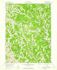
- Description
- GRAYSVILLE, OH HISTORICAL MAP GEOPDF 7.5X7.5 GRID 24000-SCALE 1960
- Survey Date
- 1960
- Print Date
- 1973
- Height In Inches
- 27.000
- Length In Inches
- 22.000
- Boundary Type
- Quadrangle
- Pieces
- 1
Related Items
GRAYSVILLE, OH HISTORICAL MAP GEOPDF 7.5X7.5 GRID 24000-SCALE 1960