
Added HAPPY VALLEY, GEOLOGIC MAP, AZ to cart. View cart.

Product Details
- Product Number
- 27702
- Series
- I-1569
- Scale
- 1:24,000
- Alternate ID
- GI1569D
- ISBN
- 978-0-607-78703-0
- Authors
- DREWES, HARALD
- Version Date
- 01/01/1986
- Regions
- AZ
- Countries
- USA
- Media
- Paper
- Format
- Flat
- Digital Reproduction
- Yes
Additional Details
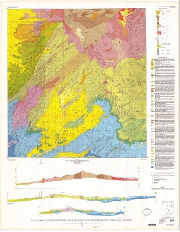
- Description
- Geologic map and structure sections of the Simmons Peak Quadrangle, Cochise County, Arizona
- Survey Date
- 1986
- Print Date
- 1986
- Height In Inches
- 49.110
- Length In Inches
- 40.440
- Boundary Type
- Quadrangle
- Two Sided
- No
- Pieces
- 1
- Languages
- English
Related Items

Geologic map and structure sections of the Dos Cabezas Quadrangle, Cochise County, Arizona
Reconnaissance geologic map of the Simmons quadrangle, Yavapai County, Arizona
Geologic map and sections of the Happy Valley Quadrangle, Cochise County, Arizona