


Product Details
- Product Number
- 260124
- Scale
- 1:48,000
- Version Date
- 01/01/1956
- Regions
- WI
- Countries
- USA
- Media
- Paper
- Format
- Flat
Additional Details
- Description
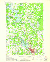
- STEPHENS POINT, WI HISTORICAL MAP GEOPDF 15X15 GRID 48000-SCALE 1956
- Survey Date
- 1956
- Print Date
- 1968
- Height In Inches
- 27.200
- Length In Inches
- 22.100
- Boundary Type
- Quadrangle
- Pieces
- 1
Related Items
STEPHENS POINT, WI HISTORICAL MAP GEOPDF 15X15 GRID 48000-SCALE 1956