- Added ROSE HILL, IA to cart. View cart.
- Added BALDY KNOLL, ID to cart. View cart.
- Added BLACK LAKE, ID HISTORICAL MAP GEOPDF 7.5 to cart. View cart.
- Added CEDAR BUTTE, ID to cart. View cart.
- Added HOG COVE BUTTE, ID to cart. View cart.
- Added HENDERSON CREEK, ID-UT to cart. View cart.
- Added GRINDSTONE BUTTE, ID to cart. View cart.
- Added BARBER FLAT, ID to cart. View cart.
- Added AMERICAN FALLS, ID to cart. View cart.
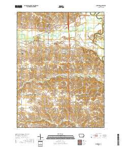
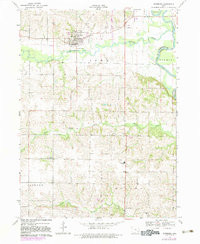
- Added RIVERSIDE, IA to cart. View cart.


Product Details
- Product Number
- 53711
- Scale
- 1:24,000
- Alternate ID
- TIA0778
- ISBN
- 978-0-607-16410-7
- Version Date
- 01/01/1983
- Regions
- IA
- Countries
- USA
- Media
- Paper
- Format
- Flat
- Digital Reproduction
- Yes
Additional Details
- Description
- RIVERSIDE, IA HISTORICAL MAP GEOPDF 7.5X7.5 GRID 24000-SCALE 1969
- Survey Date
- 1969
- Print Date
- 1983
- Height In Inches
- 26.800
- Length In Inches
- 22.000
- Boundary Type
- Quadrangle
- Two Sided
- No
- Pieces
- 1
- Languages
- English
Related Items

RIVERSIDE, IA HISTORICAL MAP GEOPDF 7.5X7.5 GRID 24000-SCALE 1969