

Product Details
- Product Number
- 314737
- Series
- DS-580
- Scale
- NO SCALE
- Alternate ID
- DS-580
- Authors
- TIMOTHY D ODEN
- Version Date
- 11/01/2011
- Regions
- TX
- Countries
- USA
- Media
- Paper
- Format
- Bound
Additional Details
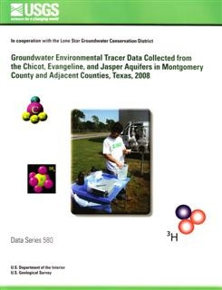
- Description
- The Gulf Coast aquifer system is the primary water supply for Montgomery County in southeastern Texas, including part of the Houston metropolitan area and the cities of Magnolia, Conroe, and The Woodlands Township, Texas. The U.S. Geological Survey, in cooperation with the Lone Star Groundwater Conservation District, collected environmental tracer data in the Gulf Coast aquifer system, primarily in Montgomery County. Forty existing groundwater wells screened in the Gulf Coast aquifer system were selected for sampling in Montgomery County (38 wells), Waller County (1 well), and Walker County (1 well). Groundwater-quality samples, physicochemical properties, and water-level data were collected once from each of the 40 wells during March–September 2008. Groundwater-quality samples were analyzed for dissolved gases and the environmental tracers sulfur hexafluoride, chlorofluorocarbons, tritium, helium-4, and helium-3/tritium. Water samples were collected and processed onsite using methods designed to minimize changes to the water-sample chemistry or contamination from the atmosphere. Replicate samples for quality assurance and quality control were collected with each environmental sample. Well-construction information and environmental tracer data for March–September 2008 are presented.
- Survey Date
- 2008
- Print Date
- 2011
- Height In Inches
- 11.000
- Length In Inches
- 8.500
- Two Sided
- Yes
- Pieces
- 1
- Languages
- English
Related Items

Groundwater-level data from an earthen dam site in southern Westchester County, New York

Prepared in cooperation with the Lone Star Groundwater Conservation District <p> <p> Estimated Rates of Groundwater Recharge to the Chicot, Evangeline, and Jasper Aquifers By Using Environmental Tracers in Montgomery and Adjacent Counties, Texas, 2008 and 2011 <p>
Archive of Digital Boomer Seismic Reflection Data Collected During USGS Field Activity 08LCA04 in Lakes Cherry, Helen, Hiawassee, Louisa, and Prevatt, Central Florida, September 2008