
- Added BRADLEYVILLE, MO HISTORICAL MAP GEOPDF 1 to cart. View cart.
- Added WEST GILGO BEACH, NY to cart. View cart.
- Added TROUT CREEK, OR to cart. View cart.
- Added PANGUITCH, UT HISTORICAL MAP GEOPDF 7.5X to cart. View cart.
- Added CORDELE, GA HISTORICAL MAP GEOPDF 30X60 to cart. View cart.
- Added NORTH TRURO, MA to cart. View cart.
- Added SANDERS, AZ to cart. View cart.
- Added RELAY, MD to cart. View cart.
- Added WESTVILLE, CA HISTORICAL MAP GEOPDF 7.5X to cart. View cart.
- Added ASBESTOS OCCURRENCES IN THE CENTRAL US to cart. View cart.

Product Details
- Product Number
- 205280
- Series
- OFR-05-1189
- Scale
- NO SCALE
- Alternate ID
- 051189
- Authors
- BRADLEY S VAN GOSEN
- Version Date
- 01/01/2005
- Regions
- NY, NJ, NH, NC, ME, VT, VA, SC, RI, PA, AL, CT, DE, FL, MD, MA, GA
- Countries
- USA
- Media
- Paper
- Format
- Flat
Additional Details
- Description
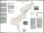
- Abstract This map and its accompanying dataset provide information for 331 natural asbestos occurrences of many sizes in the Eastern United States, using descriptions found in the geologic literature. These asbestos occurrences range in size from small veins to large ore bodies once mined for commercial and industrial uses. Data on location, mineralogy, geology, and relevant literature for each asbestos site are provided. Using the map and digital data in this report, the user can examine the distribution of previously reported asbestos occurrences and their characteristics in the Eastern United States. This report is intended to provide State and local government agencies and other stakeholders with geologic information on natural occurrences of asbestos.
- Height In Inches
- 36.000
- Length In Inches
- 48.000
- Two Sided
- No
- Pieces
- 1
- Languages
- English
Related Items
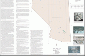
Reported Historic Asbestos Mines, Historic Asbestos Prospects, and Natural Asbestos Occurrences in the Southwestern United States (Arizona, Nevada, and Utah)
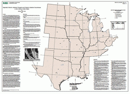
Reported Historic Asbestos Prospects and Natural Asbestos Occurrences in the Central United States
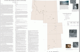
Reported Historic Asbestos Mines, Historic Asbestos Prospects, and Natural Asbestos Occurrences in the Rocky Mountain States of the United States (Colorado, Idaho, Montana, New Mexico, and Wyoming)